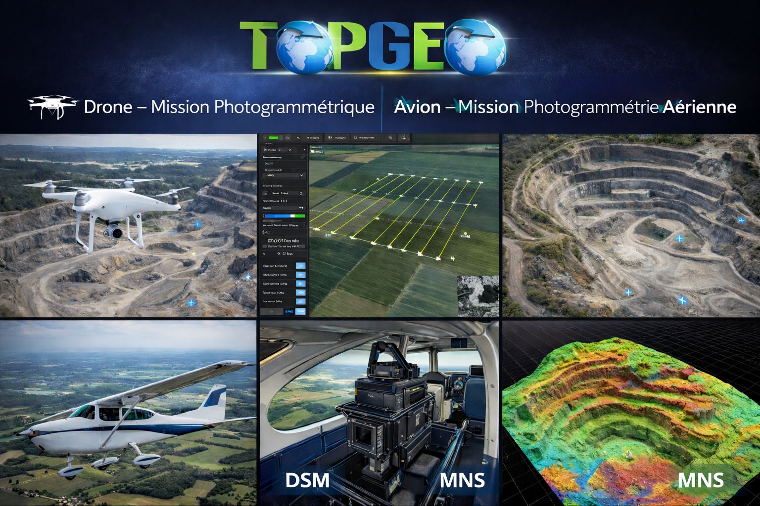
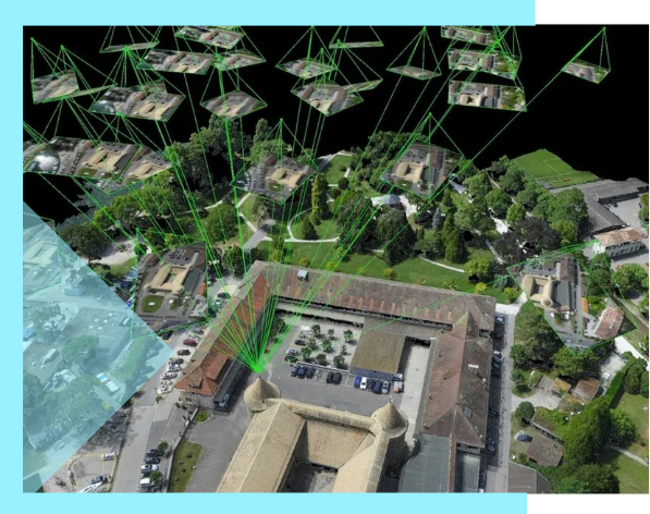
Photogrammétrie aérienne
Missions par drone et avion pour l'acquisition rapide et précise de données géospatiales sur de grandes surfaces. Idéal pour la cartographie, études topographiques et suivi de chantier.
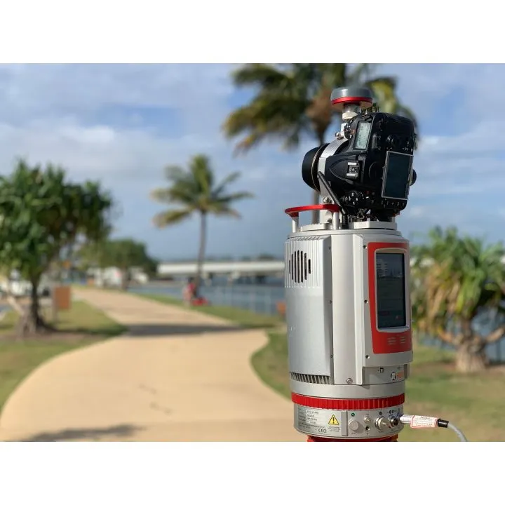
- • Acquisition par drone, avion, satellite
- • Orthophotos haute résolution
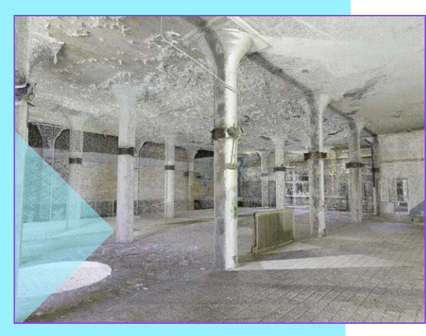
- • Nuages de points haute densité